
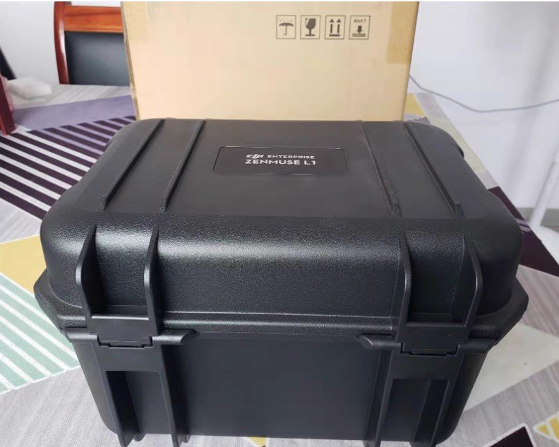
DJI Zenmuse L1 LiDAR & RGB Mapping Camera for Matrice 300/350 RTK
Original price was: $4,650.00.$4,550.00Current price is: $4,550.00. & Free Shipping
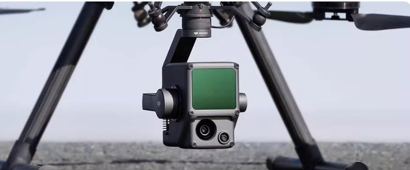
The DJI Zenmuse L1 combines a LiDAR sensor, a 20MP RGB mapping camera, and a high-accuracy IMU. Designed for DJI Matrice 300/350 RTK, it enables fast and reliable 3D data capture.
DJI Zenmuse L1 Overview
The DJI Zenmuse L1 is a powerful aerial surveying solution built for professionals. It integrates a LiDAR module, a high-resolution RGB mapping camera, and an advanced IMU into a single payload. When paired with the DJI Matrice 300 RTK or Matrice 350 RTK, the L1 turns your drone into a complete 3D data collection tool.
With real-time point cloud rendering and centimeter-level accuracy, the Zenmuse L1 makes surveying and mapping faster, safer, and more cost-effective.
Key Features
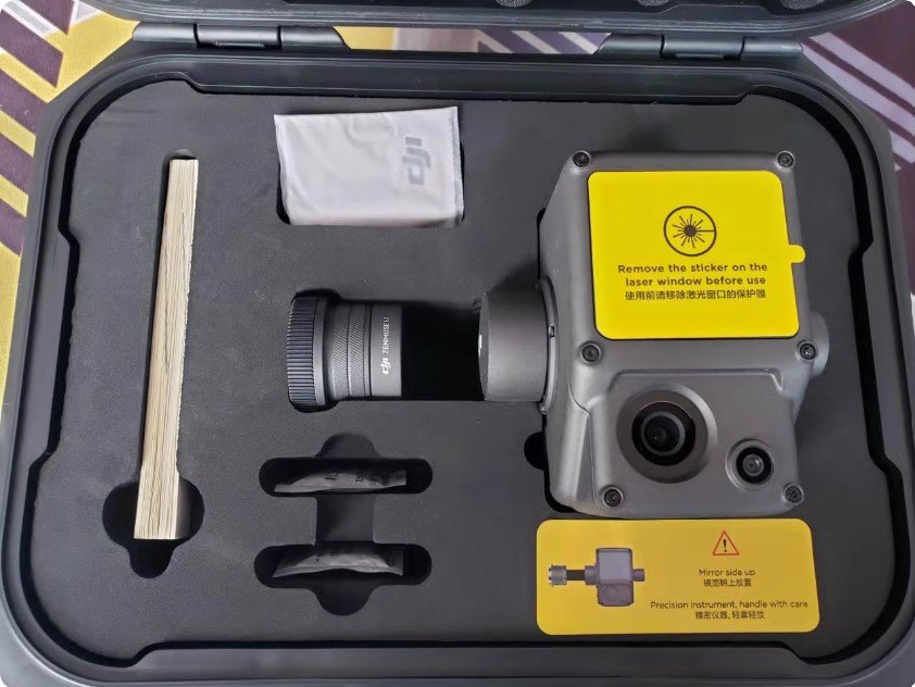
Integrated LiDAR System – Non-repetitive and repetitive scanning patterns with up to 480,000 pts/s.
High-Precision IMU – Delivers accurate orientation with post-processing yaw accuracy up to 0.15°.
RGB Mapping Camera – 1-inch sensor, 20 MP resolution, mechanical shutter, supports 4K video.
Real-Time Point Cloud – Multiple coloring modes including Reflectivity, Height, Distance, and RGB.
Rugged & Reliable – IP54 rating, stable operation in challenging weather.
Compatible with DJI Matrice 300/350 RTK – Seamless integration via DJI SkyPort mount.
Applications
High-precision surveying and mapping
3D modeling for construction and urban planning
Forestry monitoring and environmental research
Infrastructure inspection and asset management
Emergency response and disaster assessment
Why Choose DJI Zenmuse L1?
The Zenmuse L1 is designed for professionals who need fast, accurate, and reliable 3D data. Its ability to integrate LiDAR, RGB imaging, and IMU technology into a single payload reduces complexity while boosting efficiency. Combined with the Matrice 300/350 RTK, it becomes an essential tool for any enterprise requiring high-precision aerial mapping.
Important Notes
Customs & Duties:
Be prepared to pay customs duties and VAT upon arrival in your country.Serial Number & Video:
We’ll record the serial number and a video of the product before shipping for your peace of mind.Enterprise-Grade Drone:
This is a professional-grade drone. Make sure it fits your needs before purchasing.Shipping from Hong Kong Or China Mainland:
Your drone ships directly from Hong Kong or China Mainland. Please allow for standard international shipping times.
DJI Zenmuse L1 Specifications
| General | |
|---|---|
| Product Name | DJI Zenmuse L1 |
| Dimensions | 152 × 110 × 169 mm |
| Weight | 930 ±10 g |
| Power | Typical: 30 W; Max: 60 W |
| IP Rating | IP54 |
| Supported Aircraft | Matrice 300 RTK, Matrice 350 RTK |
| Operating Temperature | -20° to 50° C (-4° to 122° F); 0° to 50° C (32° to 122° F) with RGB camera |
| Storage Temperature | -20° to 60° C (-4° to 140° F) |
| System Performance | |
| Detection Range | 450 m @ 80% reflectivity, 0 klx; 190 m @ 10% reflectivity, 100 klx |
| Point Rate | Single return: max. 240,000 pts/s; Multiple return: max. 480,000 pts/s |
| Accuracy (RMS 1σ) | Horizontal: 10 cm @ 50 m; Vertical: 5 cm @ 50 m |
| Point Cloud Coloring | Reflectivity, Height, Distance, RGB |
| LiDAR | |
| Ranging Accuracy (RMS 1σ) | 3 cm @ 100 m |
| Max Returns Supported | 3 |
| Scan Modes | Non-repetitive, Repetitive |
| Field of View (FOV) | Non-repetitive: 70.4° × 77.2°; Repetitive: 70.4° × 4.5° |
| Laser Safety | Class 1 (IEC 60825-1:2014) Eye-safe |
| Inertial Navigation System | |
| IMU Update Frequency | 200 Hz |
| Accelerometer Range | ±8 g |
| Angular Velocity Range | ±2000 dps |
| Yaw Accuracy | Real-time: 0.3°; Post-processing: 0.15° |
| Pitch / Roll Accuracy | Real-time: 0.05°; Post-processing: 0.025° |
| Auxiliary Positioning Vision Sensor | |
| Resolution | 1280 × 960 |
| FOV | 95° |
| RGB Mapping Camera | |
| Sensor | 1-inch CMOS |
| Effective Pixels | 20 MP |
| Photo Size | 5472×3078 (16:9); 4864×3648 (4:3); 5472×3648 (3:2) |
| Focal Length | 8.8 mm / 24 mm (Equivalent) |
| Shutter Speed | Mechanical: 1/2000 – 8 s; Electronic: 1/8000 – 8 s |
| ISO | Video: 100–3200 (Auto), 100–6400 (Manual); Photo: 100–3200 (Auto), 100–12800 (Manual) |
| Aperture | f/2.8 – f/11 |
| File System | FAT (≤32 GB), exFAT (>32 GB) |
| Photo Format | JPEG |
| Video Format | MOV, MP4; H.264, 4K: 3840×2160 30p |
| Gimbal | |
| System | 3-axis stabilized (tilt, roll, pan) |
| Vibration Range | 0.01° |
| Mount | Detachable DJI SkyPort |
| Mechanical Range | Tilt: -120° to +30°; Pan: ±320° |
| Operation Modes | Follow / Free / Re-center |
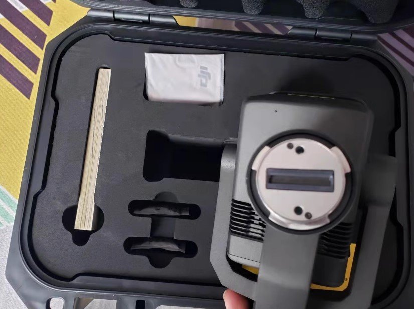
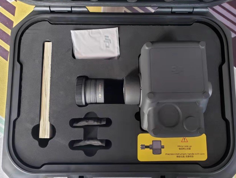
In the Box: Zenmuse L1 x 1
Shipping & Warranty
- 🚚 Ships within 24–72 hours
- 🌍 Global tracked delivery (est. 7–14 days)
- 📦 Shockproof protective packaging
- 🔁 30-Day Worry-Free Returns
- 🛡️ Backed by a 180-day warranty
You must be logged in to post a review.
Related products
-
Sale!

DJI Zenmuse X5S Gimbal (No Lens) for DJI Inspire 2
Original price was: $464.00.$449.00Current price is: $449.00.Select options This product has multiple variants. The options may be chosen on the product page -
Sale!
DJI Zenmuse X3 Aerial Photography Drone with Gimbal Camera 12.4MP 4K for Inspire 1, M100, M600 Drone
Price range: $176.00 through $359.00Select options This product has multiple variants. The options may be chosen on the product page -
Sale!
DJI Zenmuse V1 127dB Smart Broadcast Speaker for Matrice 300/350/400 RTK
Original price was: $1,230.00.$1,210.00Current price is: $1,210.00.Select options This product has multiple variants. The options may be chosen on the product page


Reviews
There are no reviews yet.